
Thank you for supporting this site ❤️
Make a donation
Make a donation
Hattardalstindur topographic map
Click on the map to display elevation.
Thank you for supporting this site ❤️
Make a donation
Make a donation
About this map
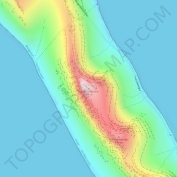
Name: Hattardalstindur topographic map, elevation, terrain.
Location: Hattardalstindur, Húsar, Norðoya sýsla, 796, Færøerne (62.29190 -6.73770 62.29200 -6.73760)
Average elevation: 143 m
Minimum elevation: -7 m
Maximum elevation: 663 m
Thank you for supporting this site ❤️
Make a donation
Make a donation