
Thank you for supporting this site ❤️
Make a donation
Make a donation
Kambur topographic map
Click on the map to display elevation.
Thank you for supporting this site ❤️
Make a donation
Make a donation
About this map
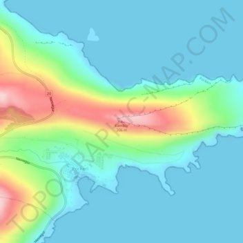
Name: Kambur topographic map, elevation, terrain.
Location: Kambur, Porkeri, Suðuroyar sýsla, 950, Færøerne (61.48692 -6.73589 61.48702 -6.73579)
Average elevation: 47 m
Minimum elevation: -2 m
Maximum elevation: 208 m
Thank you for supporting this site ❤️
Make a donation
Make a donation