
Thank you for supporting this site ❤️
Make a donation
Make a donation
Murufelli topographic map
Click on the map to display elevation.
Thank you for supporting this site ❤️
Make a donation
Make a donation
About this map
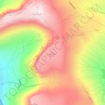
Name: Murufelli topographic map, elevation, terrain.
Location: Murufelli, Velbastaður, Streymoyar sýsla, 176, Færøerne (62.02627 -6.88931 62.02637 -6.88921)
Average elevation: 313 m
Minimum elevation: 0 m
Maximum elevation: 525 m
Thank you for supporting this site ❤️
Make a donation
Make a donation