
Ruisseau de la Fagne à la Goutte topographic map
Interactive map
Click on the map to display elevation.
About this map
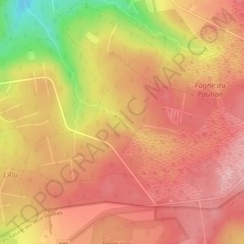
Name: Ruisseau de la Fagne à la Goutte topographic map, elevation, terrain.
Average elevation: 574 m
Minimum elevation: 459 m
Maximum elevation: 629 m