
Thank you for supporting this site ❤️
Make a donation
Make a donation
Mexi topographic map
Click on the map to display elevation.
Thank you for supporting this site ❤️
Make a donation
Make a donation
About this map
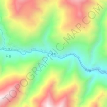
Name: Mexi topographic map, elevation, terrain.
Location: Mexi, Zhölsar, Lhünzê County, Shannan, Tibet, China (28.57420 92.58504 28.61420 92.62504)
Average elevation: 4,208 m
Minimum elevation: 3,719 m
Maximum elevation: 4,819 m
Thank you for supporting this site ❤️
Make a donation
Make a donation