
Thank you for supporting this site ❤️
Make a donation
Make a donation
Sieber topographic map
Click on the map to display elevation.
Thank you for supporting this site ❤️
Make a donation
Make a donation
About this map
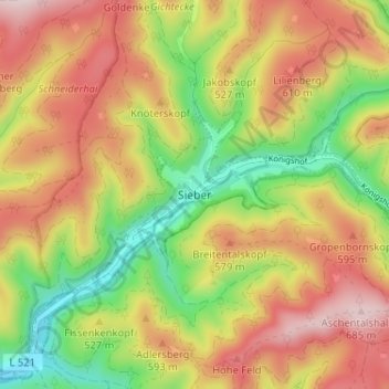
Name: Sieber topographic map, elevation, terrain.
Location: Sieber, Herzberg, Landkreis Göttingen, Lower Saxony, Germany (51.67830 10.40502 51.71830 10.44502)
Average elevation: 503 m
Minimum elevation: 302 m
Maximum elevation: 699 m
Thank you for supporting this site ❤️
Make a donation
Make a donation