
Thank you for supporting this site ❤️
Make a donation
Make a donation
Sanwalta topographic map
Click on the map to display elevation.
Thank you for supporting this site ❤️
Make a donation
Make a donation
About this map
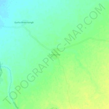
Name: Sanwalta topographic map, elevation, terrain.
Location: Sanwalta, Rani Tehsil, Pali, Rajasthan, India (25.43827 73.47180 25.47827 73.51180)
Average elevation: 293 m
Minimum elevation: 284 m
Maximum elevation: 301 m
Thank you for supporting this site ❤️
Make a donation
Make a donation