
Tateyama topographic map
Interactive map
Click on the map to display elevation.
About this map
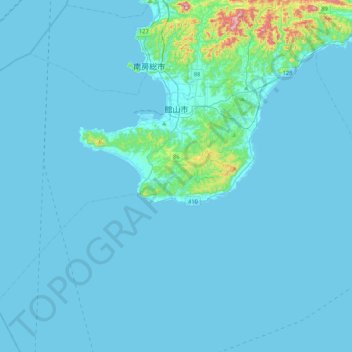
Name: Tateyama topographic map, elevation, terrain.
Location: Tateyama, Prefectura de Chiba, Japón (34.80313 139.51849 35.05643 139.94245)
Average elevation: 17 m
Minimum elevation: 0 m
Maximum elevation: 324 m