
Vera de Moncayo topographic map
Interactive map
Click on the map to display elevation.
About this map
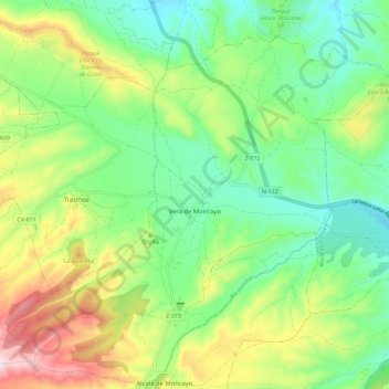
Name: Vera de Moncayo topographic map, elevation, terrain.
Average elevation: 688 m
Minimum elevation: 544 m
Maximum elevation: 954 m
Der Ort Vera de Moncayo liegt am Río Huecha zu Füßen der maximal ca. 2315 m hohen Sierra de Moncayo etwa 78 km (Fahrtstrecke) nordwestlich der Provinzhauptstadt Saragossa nahe der Grenze zur altkastilischen Provinz Soria in einer Höhe von ca. 630 m; die sehenswerte Kleinstadt Borja befindet sich ca. 14 km östlich. Das Klima ist gemäßigt bis warm; Regen (ca. 475 mm/Jahr) fällt mit Ausnahme der Sommermonate übers Jahr verteilt.