
佛山乡 topographic map
Interactive map
Click on the map to display elevation.
About this map
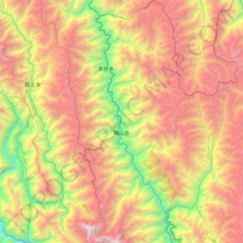
Name: 佛山乡 topographic map, elevation, terrain.
Location: 佛山乡, 德钦县, 迪庆藏族自治州, 云南省, 中国 (28.48221 98.59286 29.00959 98.85141)
Average elevation: 3,889 m
Minimum elevation: 1,810 m
Maximum elevation: 6,471 m
Other topographic maps
Click on a map to view its topography, its elevation and its terrain.