
Pavas topographic map
Interactive map
Click on the map to display elevation.
About this map
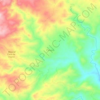
Name: Pavas topographic map, elevation, terrain.
Location: Pavas, Garzareal, Zapotillo, Loja, Ecuador (-4.27000 -80.30333 -4.23000 -80.26333)
Average elevation: 392 m
Minimum elevation: 270 m
Maximum elevation: 527 m