
Hörsten topographic map
Interactive map
Click on the map to display elevation.
About this map
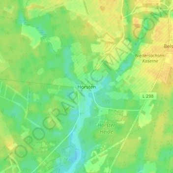
Name: Hörsten topographic map, elevation, terrain.
Location: Hörsten, Lohheide, Celle (arrondissement), Basse-Saxe, Allemagne (52.75685 9.88373 52.79685 9.92373)
Average elevation: 58 m
Minimum elevation: 45 m
Maximum elevation: 70 m