
Thank you for supporting this site ❤️
Make a donation
Make a donation
Puerto Morin topographic map
Click on the map to display elevation.
Thank you for supporting this site ❤️
Make a donation
Make a donation
About this map
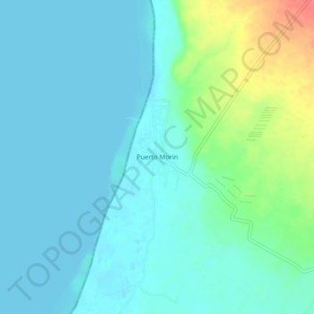
Name: Puerto Morin topographic map, elevation, terrain.
Location: Puerto Morin, Virú, La Libertad, Perú (-8.42317 -78.91589 -8.38317 -78.87589)
Average elevation: 12 m
Minimum elevation: -2 m
Maximum elevation: 57 m
Thank you for supporting this site ❤️
Make a donation
Make a donation