
Hageven topographic map
Interactive map
Click on the map to display elevation.
About this map
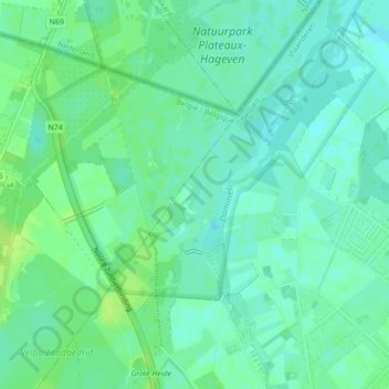
Name: Hageven topographic map, elevation, terrain.
Location: Hageven, Neerpelt, Pelt, Maaseik, Limburg, 3910, België (51.25563 5.41164 51.25774 5.41358)
Average elevation: 36 m
Minimum elevation: 30 m
Maximum elevation: 43 m
Other topographic maps
Click on a map to view its topography, its elevation and its terrain.
Grote Heide
België > Limburg > Maaseik > Pelt
Grote Heide, Neerpelt, Pelt, Maaseik, Limburg, 3910, België
Average elevation: 37 m
Sint-Huibrechts-Lille
België > Limburg > Maaseik > Pelt
Sint-Huibrechts-Lille, Pelt, Maaseik, Limburg, België
Average elevation: 40 m