
Long Pine topographic map
Interactive map
Click on the map to display elevation.
About this map
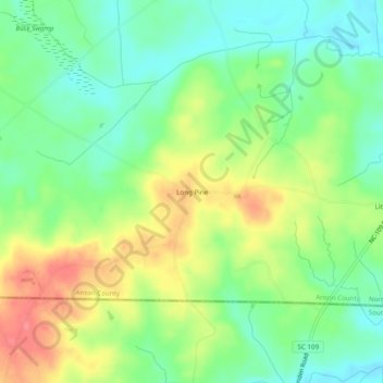
Name: Long Pine topographic map, elevation, terrain.
Location: Long Pine, Anson County, North Carolina, USA (34.80404 -80.24562 34.84404 -80.20562)
Average elevation: 109 m
Minimum elevation: 78 m
Maximum elevation: 152 m