
Los Castores topographic map
Interactive map
Click on the map to display elevation.
About this map
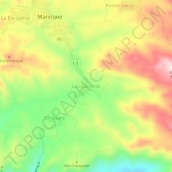
Name: Los Castores topographic map, elevation, terrain.
Location: Los Castores, Distrito Tinaco, Cojedes, Venezuela (9.77386 -68.52682 9.81386 -68.48682)
Average elevation: 442 m
Minimum elevation: 267 m
Maximum elevation: 620 m