
Château de la Grange topographic map
Interactive map
Click on the map to display elevation.
About this map
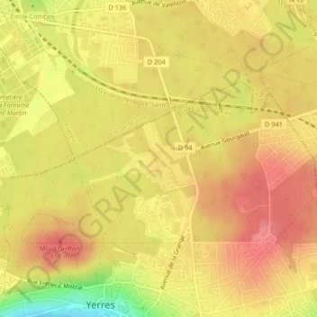
Name: Château de la Grange topographic map, elevation, terrain.
Average elevation: 91 m
Minimum elevation: 38 m
Maximum elevation: 117 m
Other topographic maps
Click on a map to view its topography, its elevation and its terrain.
Le Réveillon
France > Île-de-France > Essonne > Yerres
Le Réveillon, Les Grands Godeaux, Yerres, Arrondissement d'Évry, Essonne, Île-de-France, France métropolitaine, 91330, France
Average elevation: 66 m