
Thank you for supporting this site ❤️
Make a donation
Make a donation
Haysville topographic map
Click on the map to display elevation.
Thank you for supporting this site ❤️
Make a donation
Make a donation
About this map
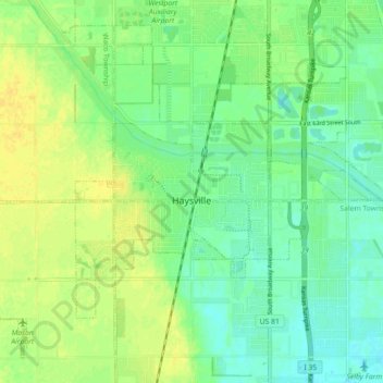
Name: Haysville topographic map, elevation, terrain.
Average elevation: 388 m
Minimum elevation: 378 m
Maximum elevation: 398 m
Thank you for supporting this site ❤️
Make a donation
Make a donation
Other topographic maps
Click on a map to view its topography, its elevation and its terrain.
Valley Center
United States > Kansas > Sedgwick County > Valley Center > Valley Center
Average elevation: 415 m