
Buleleng topographic map
Interactive map
Click on the map to display elevation.
About this map
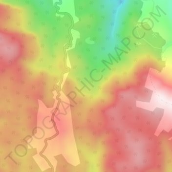
Name: Buleleng topographic map, elevation, terrain.
Location: Buleleng, Sulteng, Indonesië (-3.08352 122.20352 -3.04352 122.24352)
Average elevation: 654 m
Minimum elevation: 194 m
Maximum elevation: 968 m