
Soestduinen topographic map
Interactive map
Click on the map to display elevation.
About this map
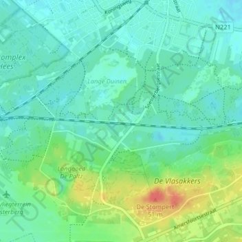
Name: Soestduinen topographic map, elevation, terrain.
Location: Soestduinen, Utrecht, Niederlande, 3768, Niederlande (52.12553 5.27609 52.16553 5.31609)
Average elevation: 14 m
Minimum elevation: 1 m
Maximum elevation: 50 m