
Thank you for supporting this site ❤️
Make a donation
Make a donation
Fort Dodge topographic map
Click on the map to display elevation.
Thank you for supporting this site ❤️
Make a donation
Make a donation
About this map
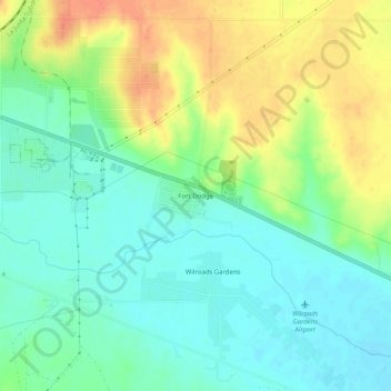
Name: Fort Dodge topographic map, elevation, terrain.
Location: Fort Dodge, Ford County, Kansas, 67843, United States (37.71196 -99.95541 37.75196 -99.91541)
Average elevation: 761 m
Minimum elevation: 742 m
Maximum elevation: 790 m
Thank you for supporting this site ❤️
Make a donation
Make a donation