
Thank you for supporting this site ❤️
Make a donation
Make a donation
Hawkins Mountain topographic map
Click on the map to display elevation.
Thank you for supporting this site ❤️
Make a donation
Make a donation
About this map
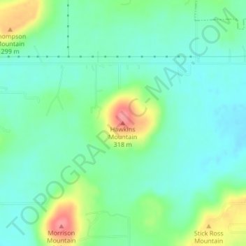
Name: Hawkins Mountain topographic map, elevation, terrain.
Location: Hawkins Mountain, Cherokee County, Oklahoma, United States (35.89421 -95.02140 35.89431 -95.02130)
Average elevation: 259 m
Minimum elevation: 235 m
Maximum elevation: 316 m
Thank you for supporting this site ❤️
Make a donation
Make a donation
Other topographic maps
Click on a map to view its topography, its elevation and its terrain.