
Thank you for supporting this site ❤️
Make a donation
Make a donation
Prantij topographic map
Click on the map to display elevation.
Thank you for supporting this site ❤️
Make a donation
Make a donation
About this map
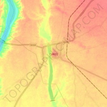
Name: Prantij topographic map, elevation, terrain.
Location: Prantij, Prantij Taluka, Sabarkantha, Gujarat, 383205, India (23.39721 72.81181 23.47721 72.89181)
Average elevation: 114 m
Minimum elevation: 75 m
Maximum elevation: 128 m
Thank you for supporting this site ❤️
Make a donation
Make a donation