
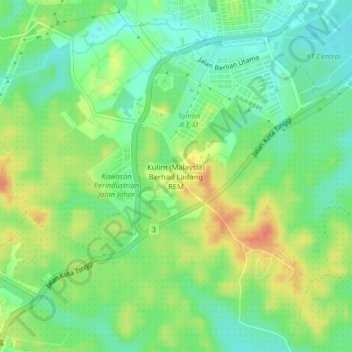
Kulim (Malaysia) Berhad Ladang REM topographic map
Interactive map
Click on the map to display elevation.
About this map
Name: Kulim (Malaysia) Berhad Ladang REM topographic map, elevation, terrain.
Average elevation: 20 m
Minimum elevation: -1 m
Maximum elevation: 46 m
Other topographic maps
Click on a map to view its topography, its elevation and its terrain.