
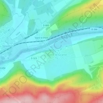
Château de Vaire-le-Grand topographic map
Interactive map
Click on the map to display elevation.
About this map
Name: Château de Vaire-le-Grand topographic map, elevation, terrain.
Average elevation: 311 m
Minimum elevation: 242 m
Maximum elevation: 488 m