
Thank you for supporting this site ❤️
Make a donation
Make a donation
Potharam topographic map
Click on the map to display elevation.
Thank you for supporting this site ❤️
Make a donation
Make a donation
About this map
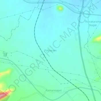
Name: Potharam topographic map, elevation, terrain.
Location: Potharam, Mallial mandal, Jagtial, Telangana, 505455, India (18.71689 78.87927 18.75689 78.91927)
Average elevation: 319 m
Minimum elevation: 296 m
Maximum elevation: 444 m
Thank you for supporting this site ❤️
Make a donation
Make a donation