
Thank you for supporting this site ❤️
Make a donation
Make a donation
Villar de Golfer topographic map
Click on the map to display elevation.
Thank you for supporting this site ❤️
Make a donation
Make a donation
About this map
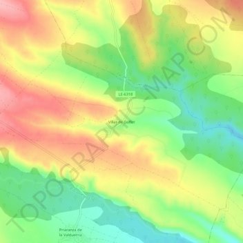
Name: Villar de Golfer topographic map, elevation, terrain.
Location: Villar de Golfer, Luyego, León, Castilla y León, 24721, España (42.33150 -6.20904 42.37150 -6.16904)
Average elevation: 992 m
Minimum elevation: 930 m
Maximum elevation: 1,056 m
Thank you for supporting this site ❤️
Make a donation
Make a donation