
Thank you for supporting this site ❤️
Make a donation
Make a donation
Doe Hill topographic map
Click on the map to display elevation.
Thank you for supporting this site ❤️
Make a donation
Make a donation
About this map
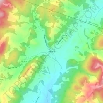
Name: Doe Hill topographic map, elevation, terrain.
Location: Doe Hill, Highland County, Virginia, 24443, United States (38.41207 -79.46449 38.45207 -79.42449)
Average elevation: 830 m
Minimum elevation: 725 m
Maximum elevation: 999 m
Thank you for supporting this site ❤️
Make a donation
Make a donation
Other topographic maps
Click on a map to view its topography, its elevation and its terrain.