
Thank you for supporting this site ❤️
Make a donation
Make a donation
Hillat Ash Shiqelab topographic map
Click on the map to display elevation.
Thank you for supporting this site ❤️
Make a donation
Make a donation
About this map
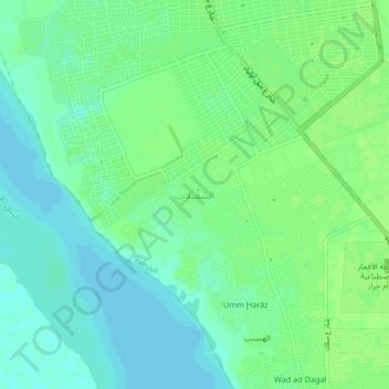
Name: Hillat Ash Shiqelab topographic map, elevation, terrain.
Location: Hillat Ash Shiqelab, Khartoum, Al Khartum, Sudan (15.39900 32.46870 15.43900 32.50870)
Average elevation: 381 m
Minimum elevation: 375 m
Maximum elevation: 387 m
Thank you for supporting this site ❤️
Make a donation
Make a donation
Other topographic maps
Click on a map to view its topography, its elevation and its terrain.