
Jehanabad District topographic map
Interactive map
Click on the map to display elevation.
About this map
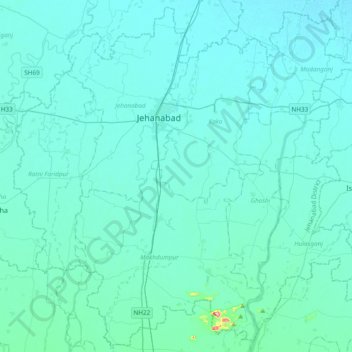
Name: Jehanabad District topographic map, elevation, terrain.
Location: Jehanabad District, Bihar, Índia (24.98723 84.82441 25.31897 85.21140)
Average elevation: 70 m
Minimum elevation: 54 m
Maximum elevation: 311 m
Other topographic maps
Click on a map to view its topography, its elevation and its terrain.
Patná
Índia > Bihar > Patna Rural
Patná, Patna Rural, Patna District, Bihar, 800001, Índia
Average elevation: 51 m