
Fort Logan topographic map
Interactive map
Click on the map to display elevation.
About this map
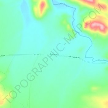
Name: Fort Logan topographic map, elevation, terrain.
Location: Fort Logan, Meagher County, Montana, États-Unis d'Amérique (46.65864 -111.19371 46.69864 -111.15371)
Average elevation: 1,435 m
Minimum elevation: 1,391 m
Maximum elevation: 1,567 m