
Ma Kyay Ngu topographic map
Interactive map
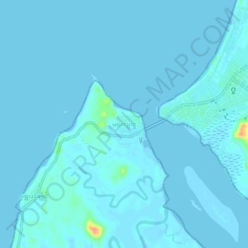
Click on the map to display elevation.
About this map
Name: Ma Kyay Ngu topographic map, elevation, terrain.
Location: Ma Kyay Ngu, Gwa Township, Thandwe District, Rakhine, Myanmar (17.57038 94.54176 17.61038 94.58176)
Average elevation: 2 m
Minimum elevation: -1 m
Maximum elevation: 38 m