
Make a donation
Jisr ash-Shugur topographic map
Click on the map to display elevation.
Make a donation
Jisr ash-Shugur
Jisr ash-Shughūr (Arabic: جِسْرُ ٱلشُّغُورِ, romanized: jisr aš-šuġūr, pronounced [dʒɪsr aʃ.ʃuˈɣuːr], also rendered as Jisser ash-Shughour and other spellings), known in antiquity as Seleucobelus (Greek: Σελευκόβηλος, romanized: Seleukóbēlos), is a city in the Idlib Governorate in northwestern Syria. Situated at an altitude of 170 metres (560 ft) above sea level on the Orontes river, the city was inhabited by 44,322 people as of 2010. The inhabitants are mostly Sunni Muslims, with a significant Christian minority (estimated at about 3,000 people in 2010), mostly Greek Orthodox. The city is the headquarters of the Turkistan Islamic Party in Syria.
Make a donation
About this map
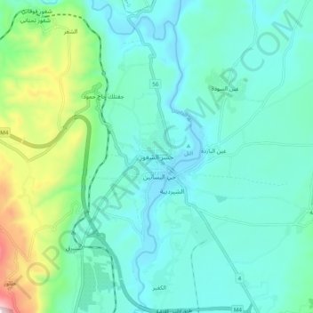
Name: Jisr ash-Shugur topographic map, elevation, terrain.
Average elevation: 272 m
Minimum elevation: 127 m
Maximum elevation: 878 m
Make a donation
Other topographic maps
Click on a map to view its topography, its elevation and its terrain.