
Thank you for supporting this site ❤️
Make a donation
Make a donation
Culpepper topographic map
Click on the map to display elevation.
Thank you for supporting this site ❤️
Make a donation
Make a donation
About this map
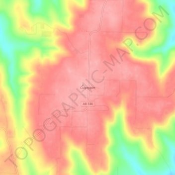
Name: Culpepper topographic map, elevation, terrain.
Location: Culpepper, Van Buren County, Arkansas, United States (35.49619 -92.53655 35.53619 -92.49655)
Average elevation: 284 m
Minimum elevation: 204 m
Maximum elevation: 320 m
Thank you for supporting this site ❤️
Make a donation
Make a donation