
Thank you for supporting this site ❤️
Make a donation
Make a donation
Mines topographic map
Click on the map to display elevation.
Thank you for supporting this site ❤️
Make a donation
Make a donation
About this map
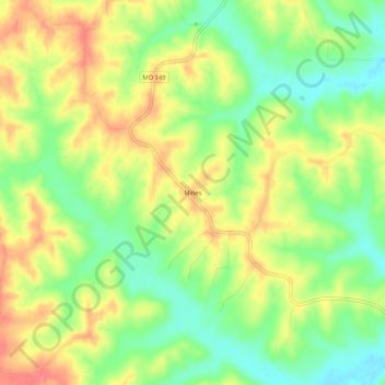
Name: Mines topographic map, elevation, terrain.
Location: Mines, Adair County, Missouri, 63544, United States (40.19253 -92.83353 40.23253 -92.79353)
Average elevation: 288 m
Minimum elevation: 256 m
Maximum elevation: 320 m
Thank you for supporting this site ❤️
Make a donation
Make a donation
Other topographic maps
Click on a map to view its topography, its elevation and its terrain.