
Thank you for supporting this site ❤️
Make a donation
Make a donation
Irkeschtam Pass topographic map
Click on the map to display elevation.
Thank you for supporting this site ❤️
Make a donation
Make a donation
About this map
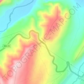
Name: Irkeschtam Pass topographic map, elevation, terrain.
Location: Irkeschtam Pass, Алай району, Gebiet Osch, Kirgisistan (39.65542 73.85236 39.65552 73.85246)
Average elevation: 3,033 m
Minimum elevation: 2,881 m
Maximum elevation: 3,231 m
Thank you for supporting this site ❤️
Make a donation
Make a donation