
Thank you for supporting this site ❤️
Make a donation
Make a donation
't Klooster topographic map
Click on the map to display elevation.
Thank you for supporting this site ❤️
Make a donation
Make a donation
About this map
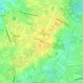
Name: 't Klooster topographic map, elevation, terrain.
Location: 't Klooster, Aalten, Gelderland, Nederland, 7121 LM, Nederland (51.94382 6.60113 51.98382 6.64113)
Average elevation: 32 m
Minimum elevation: 20 m
Maximum elevation: 43 m
Thank you for supporting this site ❤️
Make a donation
Make a donation