
Shoal Lake topographic map
Interactive map
Click on the map to display elevation.
About this map
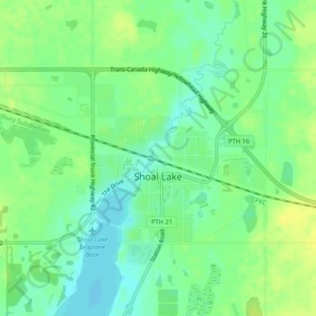
Name: Shoal Lake topographic map, elevation, terrain.
Location: Shoal Lake, Manitoba, R0J 1Z0, Canada (50.43204 -100.60016 50.44692 -100.57701)
Average elevation: 557 m
Minimum elevation: 547 m
Maximum elevation: 566 m