
Thank you for supporting this site ❤️
Make a donation
Make a donation
Arkalon topographic map
Click on the map to display elevation.
Thank you for supporting this site ❤️
Make a donation
Make a donation
About this map
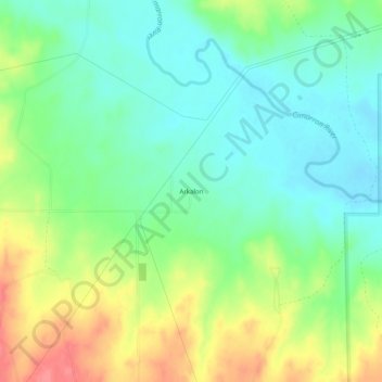
Name: Arkalon topographic map, elevation, terrain.
Location: Arkalon, Seward County, Kansas, United States (37.12308 -100.82738 37.16308 -100.78738)
Average elevation: 808 m
Minimum elevation: 782 m
Maximum elevation: 853 m
Thank you for supporting this site ❤️
Make a donation
Make a donation
Other topographic maps
Click on a map to view its topography, its elevation and its terrain.