
Griffin topographic map
Interactive map
Click on the map to display elevation.
About this map
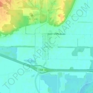
Name: Griffin topographic map, elevation, terrain.
Location: Griffin, Posey County, Indiana, United States (38.20051 -87.91621 38.20800 -87.91298)
Average elevation: 120 m
Minimum elevation: 109 m
Maximum elevation: 150 m