
't Haantje topographic map
Interactive map
Click on the map to display elevation.
About this map
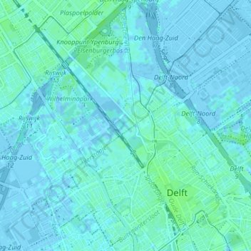
Name: 't Haantje topographic map, elevation, terrain.
Location: 't Haantje, Südholland, Niederlande, 2288CV, Niederlande (52.00205 4.32513 52.04205 4.36513)
Average elevation: 1 m
Minimum elevation: -6 m
Maximum elevation: 6 m