
Thank you for supporting this site ❤️
Make a donation
Make a donation
Manning topographic map
Click on the map to display elevation.
Thank you for supporting this site ❤️
Make a donation
Make a donation
About this map
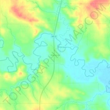
Name: Manning topographic map, elevation, terrain.
Location: Manning, Dunn County, North Dakota, United States (47.21002 -102.79019 47.25002 -102.75019)
Average elevation: 681 m
Minimum elevation: 655 m
Maximum elevation: 723 m
Thank you for supporting this site ❤️
Make a donation
Make a donation