
Häggenschwil topographic map
Interactive map
Click on the map to display elevation.
About this map
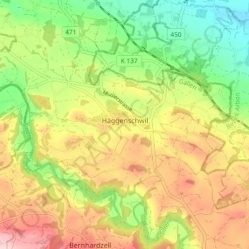
Name: Häggenschwil topographic map, elevation, terrain.
Location: Häggenschwil, Wahlkreis St. Gallen, Saint-Gall, Suisse (47.47512 9.30792 47.51201 9.37446)
Average elevation: 542 m
Minimum elevation: 432 m
Maximum elevation: 667 m