
Thank you for supporting this site ❤️
Make a donation
Make a donation
Allaman topographic map
Click on the map to display elevation.
Thank you for supporting this site ❤️
Make a donation
Make a donation
About this map
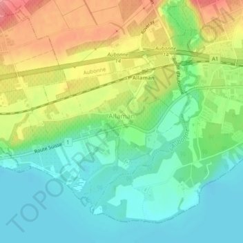
Name: Allaman topographic map, elevation, terrain.
Location: Allaman, District de Morges, Vaud, 1165, Suisse (46.41165 6.37781 46.48036 6.42563)
Average elevation: 381 m
Minimum elevation: 369 m
Maximum elevation: 623 m
Thank you for supporting this site ❤️
Make a donation
Make a donation
Other topographic maps
Click on a map to view its topography, its elevation and its terrain.