
安贞街道 topographic map
Interactive map
Click on the map to display elevation.
About this map
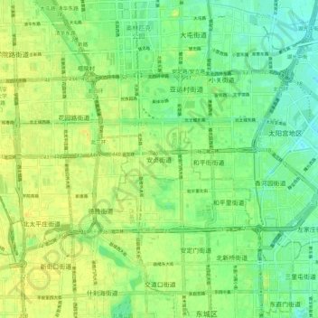
Name: 安贞街道 topographic map, elevation, terrain.
Location: 安贞街道, 朝阳区, Pékin, 100013, Chine (39.92567 116.35437 40.00567 116.43437)
Average elevation: 49 m
Minimum elevation: 38 m
Maximum elevation: 59 m