
Thank you for supporting this site ❤️
Make a donation
Make a donation
Klebas topographic map
Click on the map to display elevation.
Thank you for supporting this site ❤️
Make a donation
Make a donation
About this map
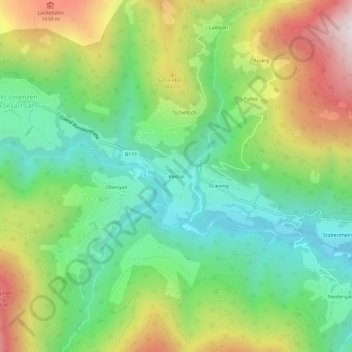
Name: Klebas topographic map, elevation, terrain.
Location: Klebas, Lesachtal, Bezirk Hermagor, Kärnten, 9653, Österreich (46.67341 12.79080 46.71341 12.83080)
Average elevation: 1,261 m
Minimum elevation: 911 m
Maximum elevation: 1,842 m
Thank you for supporting this site ❤️
Make a donation
Make a donation