
Make a donation
Populonia topographic map
Click on the map to display elevation.
Make a donation
Populonia
In geology, the "Tuscan metallogenic province" derived from volcanic intrusions into southern Etruria due to extension of the crust there (which also created a karst topography in western Italy) from the late Miocene to the Pleistocene. This process emplaced iron oxide deposits on Elba, pyrite in southern Tuscany and various kinds of skarn including copper-bearing in the Colline Metallifere, called Etruria Mineraria in the Middle Ages. The ancient slag-heaps are estimated to weigh 2–4 million tons, representing an annual iron production of between 1,600–2,000 and 10,000 tons, according to varying modern estimates.
Make a donation
About this map
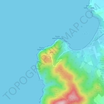
Name: Populonia topographic map, elevation, terrain.
Location: Populonia, Piombino, Livorno, Tuscany, Italy (42.96945 10.47157 43.00945 10.51157)
Average elevation: 34 m
Minimum elevation: 0 m
Maximum elevation: 265 m
Make a donation