
Thank you for supporting this site ❤️
Make a donation
Make a donation
Groß Pankow (Prignitz) topographic map
Click on the map to display elevation.
Thank you for supporting this site ❤️
Make a donation
Make a donation
About this map
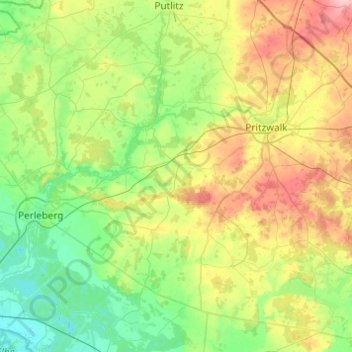
Name: Groß Pankow (Prignitz) topographic map, elevation, terrain.
Location: Groß Pankow (Prignitz), Prignitz, Brandenburg, Germany (53.01646 11.85222 53.19986 12.34107)
Average elevation: 60 m
Minimum elevation: 20 m
Maximum elevation: 145 m
Thank you for supporting this site ❤️
Make a donation
Make a donation
Other topographic maps
Click on a map to view its topography, its elevation and its terrain.