
Thank you for supporting this site ❤️
Make a donation
Make a donation
Longhi topographic map
Click on the map to display elevation.
Thank you for supporting this site ❤️
Make a donation
Make a donation
About this map
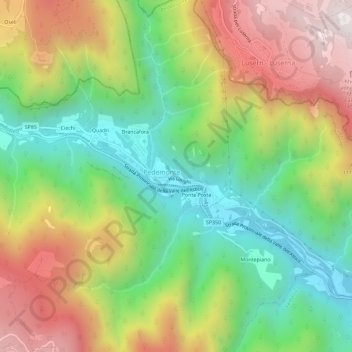
Name: Longhi topographic map, elevation, terrain.
Location: Longhi, Pedemonte, Vicenza, Veneto, 36040, Italia (45.88876 11.28922 45.92876 11.32922)
Average elevation: 897 m
Minimum elevation: 408 m
Maximum elevation: 1,545 m
Thank you for supporting this site ❤️
Make a donation
Make a donation