
Thank you for supporting this site ❤️
Make a donation
Make a donation
Krandon topographic map
Click on the map to display elevation.
Thank you for supporting this site ❤️
Make a donation
Make a donation
About this map
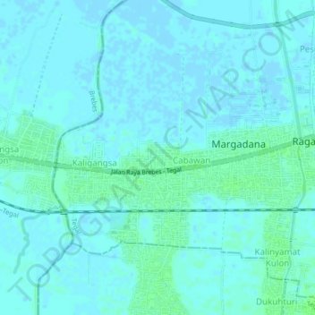
Name: Krandon topographic map, elevation, terrain.
Location: Krandon, Tegal, Central Java, Java, 52122, Indonesia (-6.89700 109.06841 -6.85700 109.10841)
Average elevation: 2 m
Minimum elevation: -4 m
Maximum elevation: 8 m
Thank you for supporting this site ❤️
Make a donation
Make a donation